In the framework of the SMARTWB project, Polis University has successfully introduced a new and innovative learning methodology that merges technology with territorial analysis.
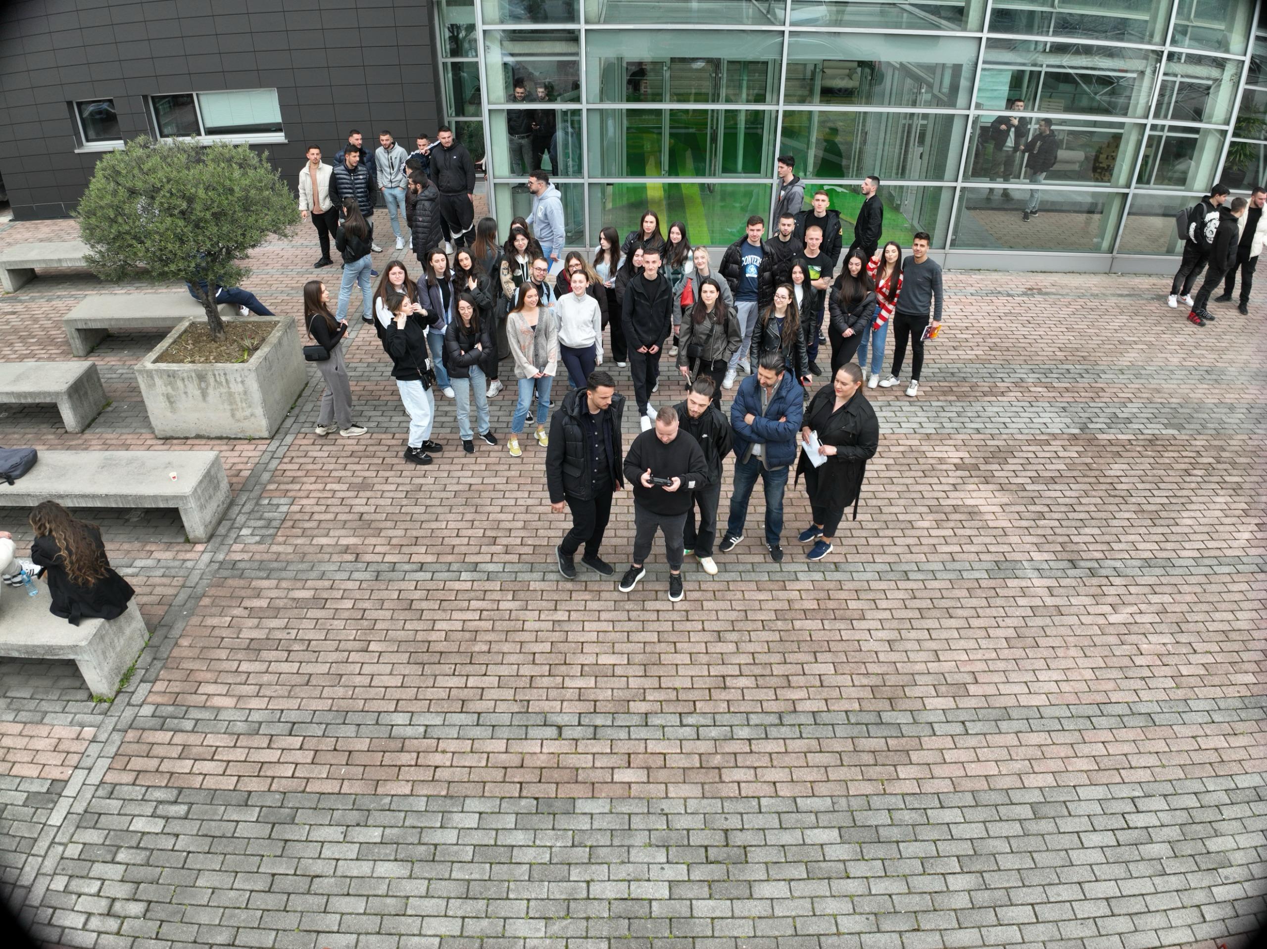
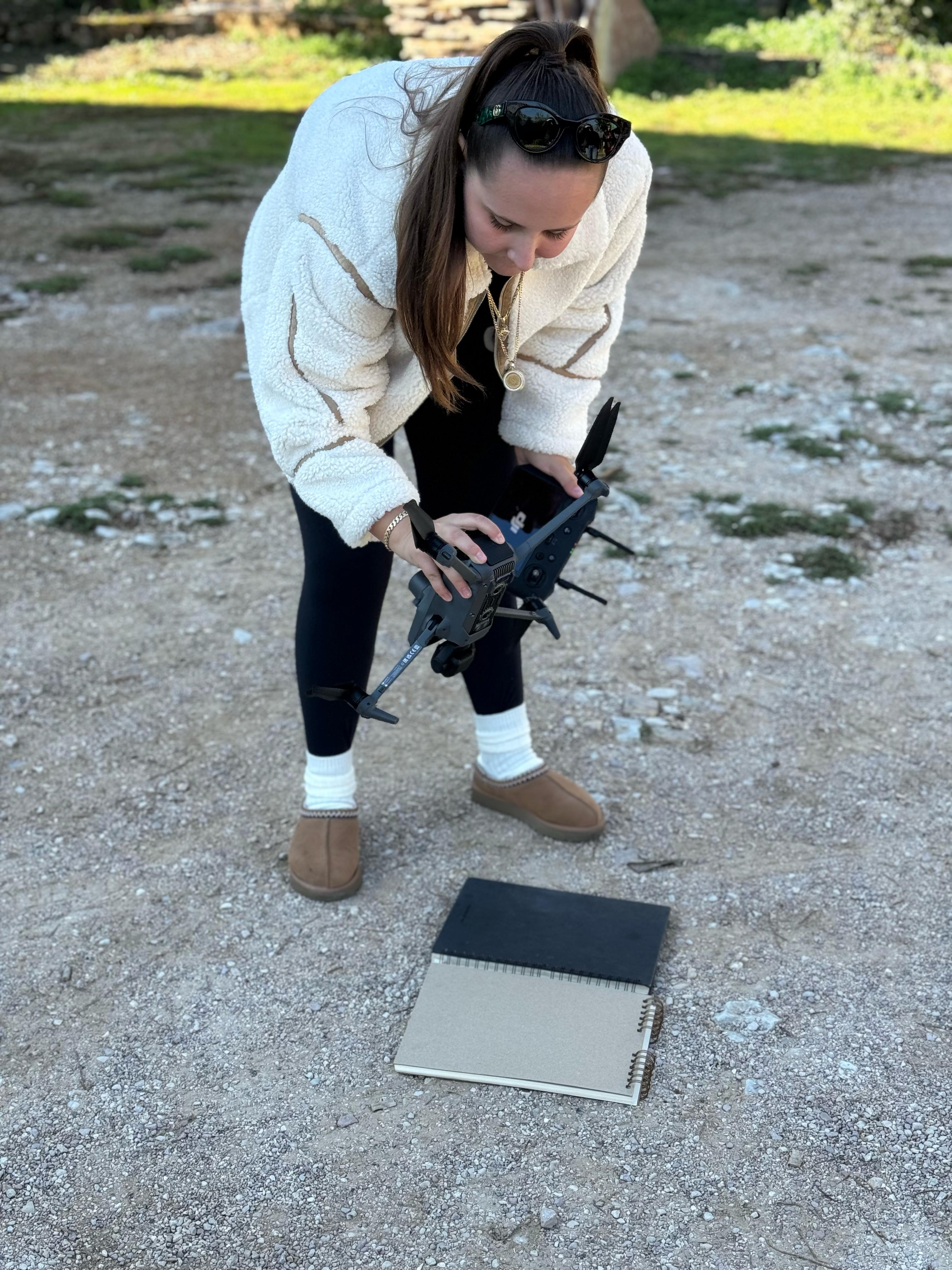
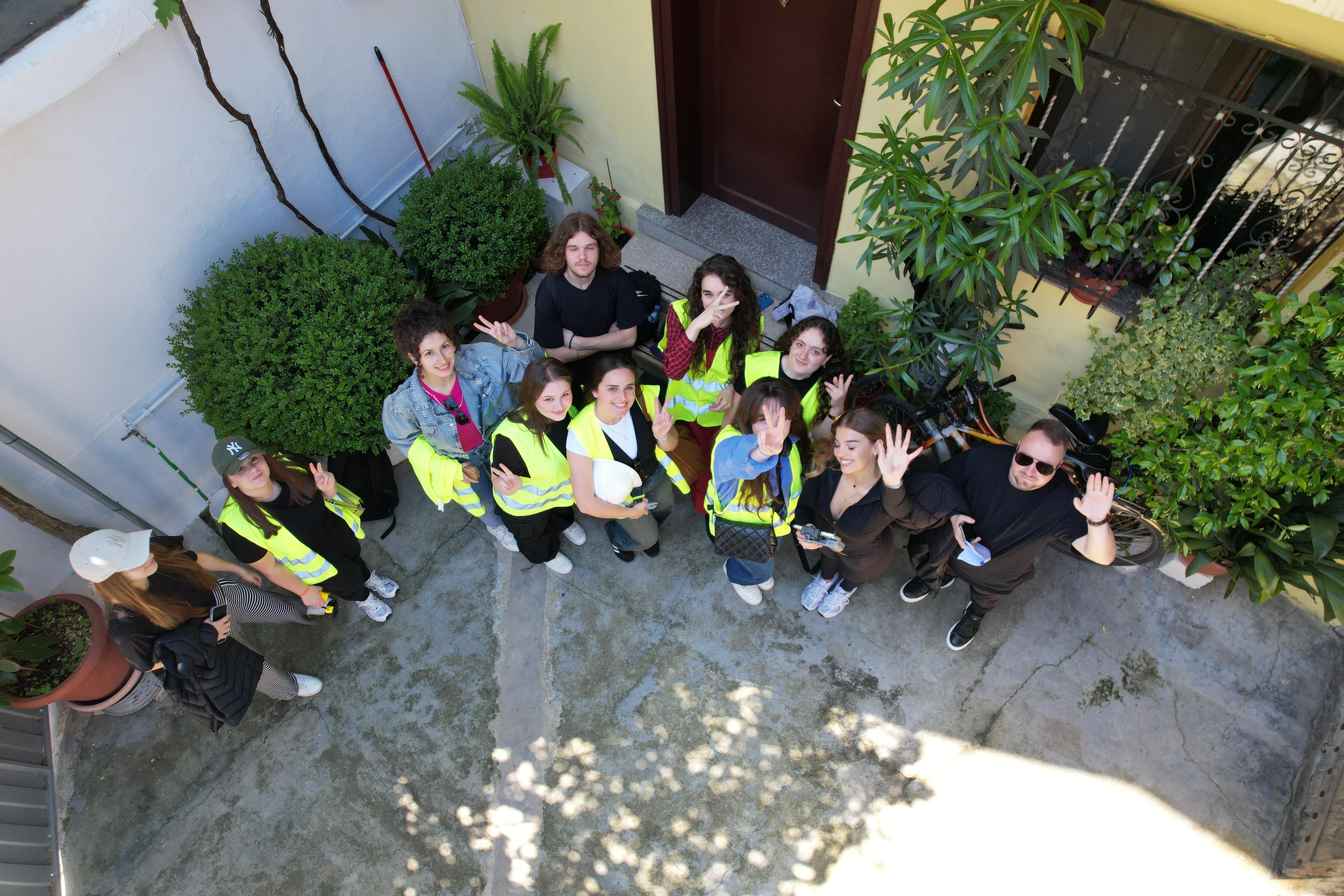
As part of the modernised course Urban Planning Studio, students had the opportunity to use drones to scan buildings and urban areas in Tirana. This approach enabled a deeper understanding of the urban landscape, marking a significant leap forward in climate-smart urban development education.
The drone technology served as a crucial tool for data collection, providing high-resolution aerial imagery and accurate spatial data. The collected datasets were then processed using Geographic Information Systems (GIS), enabling students to analyze urban patterns, identify spatial issues, and propose sustainable planning solutions based on real-time and real-scale observations.
Under the close guidance of professors, students showed high levels of enthusiasm and engagement throughout the process. This experience not only strengthened their technical skills but also fostered critical thinking in applying green and energy-efficient planning strategies, core components of the SMART WB project’s goals.