-In 1951, the Higher Polytechnic Institute (HPI) was established, where three Directions were involved: Civil, Mechanical and Electrical.
-In 1957, other Faculties were set up in Albania, they all founded the State University of Tirana (UT).
-In 1991, all the Engineering Faculties were re-grouped, and the Polytechnic University of Tirana (UPT) was founded. It was the first University in Albania to adopt the Bologna process.
-In 2007, because of the reform initiated by the Albanian government for the reformation of scientific research in Albania, the structure of the Polytechnic University of Tirana changed, and currently, it consists of seven Faculties and one Institution of Research and Development:
1. Faculty of Geology and Mining (FGM),
2. Faculty of Electrical Engineering (FEE),
3. Faculty of Mechanical Engineering (FME),
4. Faculty of Mathematical Engineering and Physics Engineering (FME & PhE),
5. Faculty of Civil Engineering (FCE),
6. Faculty of Architecture and Urban Planning (FAUP),
7. Faculty of Information Technology (FIT),
8. Institute of Geosciences and Energy, Water and Environment (IGEWE).
-UPT is headed by the Rector, which is elected by the academic staff, non-academic staff, and students as well he is nominated by the President of the Republic of Albania every four years.
-UPT is a public high education institution.
-UPT has about 13 000 students and more than 500 full-time academic staff.
Program 2019-2020 2020-2021 2021-2022 2022-2023
Bachelor 10797 10161 10993 10606
MSc 1308 1498 1850 1938
MP 1180 1074 902 780
Doctorate
(Total as UPT) 181 159 112 42 candidates in
9 study programs
-UPT is a member of many university networks and agencies, as UNICA, BSUN, AUF, CMU, and RMEI (Mediterranean Network of Schools of Engineer), etc. as well has signed over 52 Cooperation Memoranda with other universities: Polytechnic di Torino, Polytechnic di Bari, Universities of Florence, Trieste and Molise, Italy; University de Technologies de Compiegne, France; the Technical University of Fukuoka, MIE University, Japan; Bucharest Polytechnic University, Romania; Ljubljana University, Slovenia; Aristotle University of Thessaloniki, Greece; Eastern Mediterranean University (EMU) - North Cyprus; Northeastern University (NEU) of Shenyang and Xi’an University of Architecture and Technology (XIAUAT) in China.
-Since 1992, UPT has participated:
-in more than 30 projects (TEMPUS + CEPUS).
-46 projects supported by the World Bank and the Albanian Government.
-30 research and development projects.
-49 projects from Excellence Fund and other projects supported by FP6, FP7, IPA, and ECOPORT.
-UPT has participated in several ERASMUS+, Projects:
-ERASMUS+, GEOWEB “Modernizing geodesy education in Western Balkan with focus on competences and learning outcomes” (2015-2018) as BEN.
1.Modernised Curricula, MSc. in Geodesy, Revised Subjects:
-Geodetic reference systems,
-Advanced adjustment computations,
-Physical Geodesy,
-Advanced GNSS and Applications,
-NSDI and geo-data legislation.
2.Modernised Curricula, MSc. in Geodesy, New Subjects:
-Spatial databases and Web-GIS,
-Advanced remote sensing and image processing,
-Land Management (S),
-Knowledge on planning and urban projects (S),
-Project management and Research methodology.
-ERASMUS+, BESTSDI “Western Balkans academic education evolution and professional's sustainable training for Spatial Data Infrastructures” (2016–2019) as BEN.
1.Modernised Curricula, Revised Subjects, added content related to SDI:
a. Bachelor in Geodesy:
-Cadastral Systems and Land use (Existing and reviewed of Land use part).
b. MSc. in Geodesy:
-NSDI and legislation (Cadaster Theme and completion of SDI and legislative EU- Albania legislation on SDI).
-Geo-information science and spatial analysis (Applying of Geo-information standards in SDI products generated from SDI).
-Digital Photogrammetry (Metadata realization to Orthophoto Theme).
-Geodetic Reference Systems (Metadata of coordinative reference systems in SDI/ ratio related to other/all Themes in SDI, relation with the main portal).
-Spatial databases and Web-GIS.
-Land Management/ Urban Planning (S) (Adopted for SDI)
-Project management and Research methodology (Oriented lessons for scientific research on SDI).
-ERASMUS+, GRADUA “GRaduates Advancement and Development of University capacities in Albania” (2017-2021) as BEN.
-ERASMUS+, MARDS “Reforming doctoral studies in Montenegro and Albania - good practice paradigm” (2018- 2021) as BEN.
-ERASMUS+, BKSTONE “Higher Education–Enterprise platform for fostering, modernization and sustainable growth in natural stone industry in Western Balkans”, 2019-2022 as COO.
-Erasmus+, GEOBIZ “Strengthening of relations between HEIs and the wider economic and social environment” (2019-2022) as BEN.
1.Modernised Curricula, Revised Subjects:
-Cadastral Systems and Land use, 7.5 Credits, 2nd Sem/2nd Year, Bachelor “Engineering in Geodesy“.
-Planning and urban projects, 4.0 Credits, 2nd Sem/1st Year, Master of Science “Engineering in Geodesy“.
2.Modernised Curricula, New Subjects:
-Terrain modelling, 4.5 Credits, 2nd Sem/3rd Year, Bachelor “Engineering in Geodesy“
-Unmanned Aerial Vehicle (UAV), 3 Credits, 2nd Sem/3rd Year, Bachelor “Engineering in Geodesy“.
-Database Modelling, 3 Credits, 1st Sem/1st Year, Master of Science “Engineering in Geodesy“.
-ERASMUS+, REACH “Improving REsearch capacities of Albanian higher education institutions in conservation and restoration of Cultural Heritage” ( 2019-2022) as BEN.
-ERASMUS+, DRIVE “Developing Research and InnoVation CapacitiEs in Albania and Kosovo” (2019-2022) as BEN.
-ERASMUS+, ENGINE “ENGIneering curricula modernization in renewable eNergy in albanian univErsities” (2020-2023) as COO.
-ERASMUS+, KALCEA “Knowledge triangle for a low carbon economy” (2020-2023) as BEN.
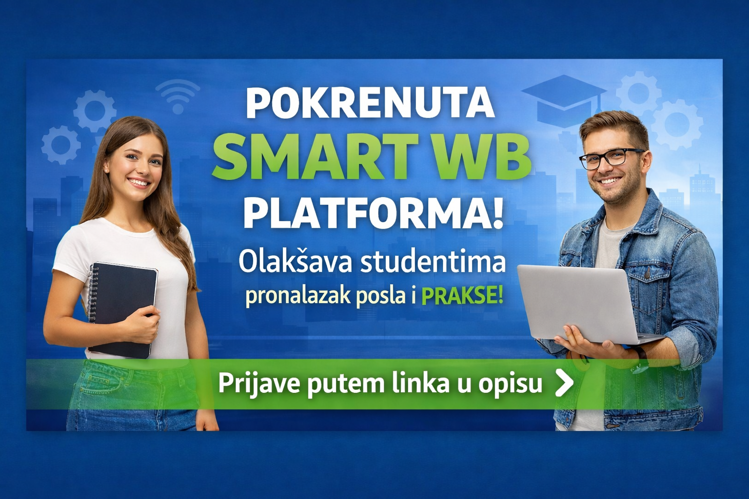
-ERASMUS+, SmartWB “Curricula innovation in climate-smart urban development based on green and energy efficiency with the non-academic sector” (2022–2025) as BEN.
During these projects many staff mobility & training has taken place enforcing the relations with participating European and regional universities.
CIVIL ENGINEERING FACULTY (FCE)
-FCE is one of the oldest and most experienced Faculties in the Albanian Higher Education. It was established in 1951 as a Civil Branch in the framework of Higher Polytechnic Institute of Tirana and later as constituent part of Tirana University (UT).
-In 1983, Faculty of Civil Engineering was established as an independent unit included in UT.
-FCE as a main unit of UPT, has contributed to a successful history for our country. The greatest and most important works in the field of construction and architecture bear the seal of progressive and scientific thinking of the engineers and architects graduating from the auditoriums of FCE.
FCE includes five Departments:
-Department of Building Constructions and Transport Infrastructure,
-Department of Mechanics of Structures,
-Department of Environmental Engineering,
-Department of Hydrotechnics and Hydraulics,
-Department of Geodesy.
FCE offers the BACHELOR Diplomas in four branches:
-BACHELOR in Civil Engineering.
-BACHELOR Hydrotechnics Engineering.
-BACHELOR in Environmental Engineering.
-BACHELOR in Geodesy Engineering.
FCE offers the MASTER OF SCIENCE Diplomas:
1. Master of Science in Civil Engineering
-Structures Profile.
-Infrastructure and Transport Profile.
-Geotechnics Profile.
2. Master of Science in Hydrotechnics Engineering.
3. Master of Science in Environmental Engineering.
-Water Treatment Profile.
-Energy Profile.
4. Master of Science in Geodesy Engineering
5. Master of Science
-Dual Diploma in Civil Engineering in partnership with Ecole Spéciale des Travaux Publics, Paris, FRANCE.
FCE offers PhD:
-PhD in Civil Engineering profile
-PhD in Geodesy Engineering profile.
-In period 1966-2018 there are graduated about 11 000 students in different Profiles of FCE:
-5575 as Civil Engineers,
-1751 Hydrotechnics Engineers,
-1168 Architects and Urbanists,
-1316 Environmental Engineers and
-1137 Geodesist Engineers.
DEPARTMENT OF GEODESY
-Department of Geodesy is the oldest Departments of FCE founded in 1956. It has an experience of teaching and education of over 65 years.
-Department is sole Department in higher Education in Geodesy in Albania. Education is upgrade till in three levels in accordance with Bologna process:
- the first level Bachelor (three years: 180 ECTS, Diploma Bachelor of Science “Eng. in Geodesy”).
- the second level Master:
-Master of Science (2 years: 120 ECTS, Diploma Master of Science “Eng. in Geodesy”).
-Professional Master (one year: 60 ECTS, Diploma Master Professional “Eng. in Geodesy”).
- the third level PhD: (three years: 180 ECTS, Diploma PhD of Science in Geodesy”).
Note: All teaching programs are given in Albanian language!
-Academic staff
All teaching activity and education as well as research and projects are cover by a staff of:
-12 Academic Personnel full time,
-2 Laboratory Specialists,
-12-13 part-time/invited staff.
-Teaching Infrastructure
There are three laboratories for teaching of practical exercises and one field work polygon for Fieldwork practices:
-Laboratory of Geomatics (over 30 computers and some free software).
-Laboratory of Photogrammetry & RS (12 computers and some free software).
-Laboratory of Geodesy (optical-mechanical/electronic theodolites 10”/20", Total stations 1”/5", TRIMBLE GNSS R8/R12i Receivers, unlicensed Trimble Business Centre Software, digital High Precision Level 0.3 mm/km, High Precision Level 0.7 mm/km, optical-mechanical High Precision Levels Ni 005A, Koni 007, Invar bar code 6 units, etc.).
-Projects:
-Participation in BALGEO I and BALGEO II (2009 – 2010) Projects, Coordinator: Technic University of Wien/Austria.
-Consortium participant and scientific advisor for ALBPOS system in Albania (2008- 2010), financed by EC.
-Participation as inter-governmental Group for establishing NSDI under the principles of INSPIRE 2007/2/EC, as well as to establish the main Institution called: State Authority for Geospatial Data and Information (ASIG).
-EC, ERASMUS+, GEOWEB KA2: "Modernizing geodesy education in Western Balkan with focus on competences and learning outcomes" (2015-2018).
-EC, ERASMUS+, BESTSDI KA2: "Western Balkans Academic Education Evolution and Professional’s Sustainable Training for Spatial Data Infrastructures“ (2016-2019).
-EC, ERASMUS+, GEOBIZ KA2: “Business driven problem-based learning for academic excellence in geoinformatics” (2019-2022).